New Zealand Touring Basics: Routes, Distances, Timing
A road trip through New Zealand covers less distance on paper than most people expect, and far more time in practice. The North Island and South Island together stretch about 1,600 kilometers tip to tip, roughly the length of California, but the driving is slower than the map suggests. Winding coastal roads, one-lane bridges, and mountain passes mean 100 kilometers can easily take two hours. Understanding this before you pack and plan a route saves you from the most common mistake: cramming too much into too little time.
How Far Things Actually Are
Distances between major towns look short until you’re behind the wheel. Auckland to Wellington is 640 kilometers but takes about 8 hours nonstop, longer with stops. Christchurch to Queenstown, a popular South Island leg, is 485 kilometers and takes roughly 6.5 hours. Queenstown to Milford Sound, only 290 kilometers, takes nearly 4.5 hours because of the narrow, twisting road through Fiordland.
The general rule of thumb locals use is to plan for an average speed of 70-80 kilometers per hour on open roads, and much less on mountain or coastal routes. Google Maps estimates are usually close to accurate for drive time, but they don’t account for stops at lookouts, fuel, or the inevitable slow tourist traffic in peak season. Build in buffer time rather than trusting a straight point-to-point calculation.
The Classic North Island Route
Most first-time visitors start in Auckland and work south. A common route runs Auckland to Rotorua (3 hours) for geothermal activity, then Rotorua to Taupo (1 hour) for the lake and Huka Falls, then Taupo to Wellington (5 hours) with a possible detour through Tongariro National Park. This covers roughly 600 kilometers and works well as a 5-7 day loop if you’re not rushing.
Tongariro itself deserves a full day if you plan to hike the Alpine Crossing, a 19.4-kilometer track that takes 6-8 hours depending on fitness and weather. Weather in this region changes fast, so check conditions the morning of, not the night before.
The Classic South Island Route
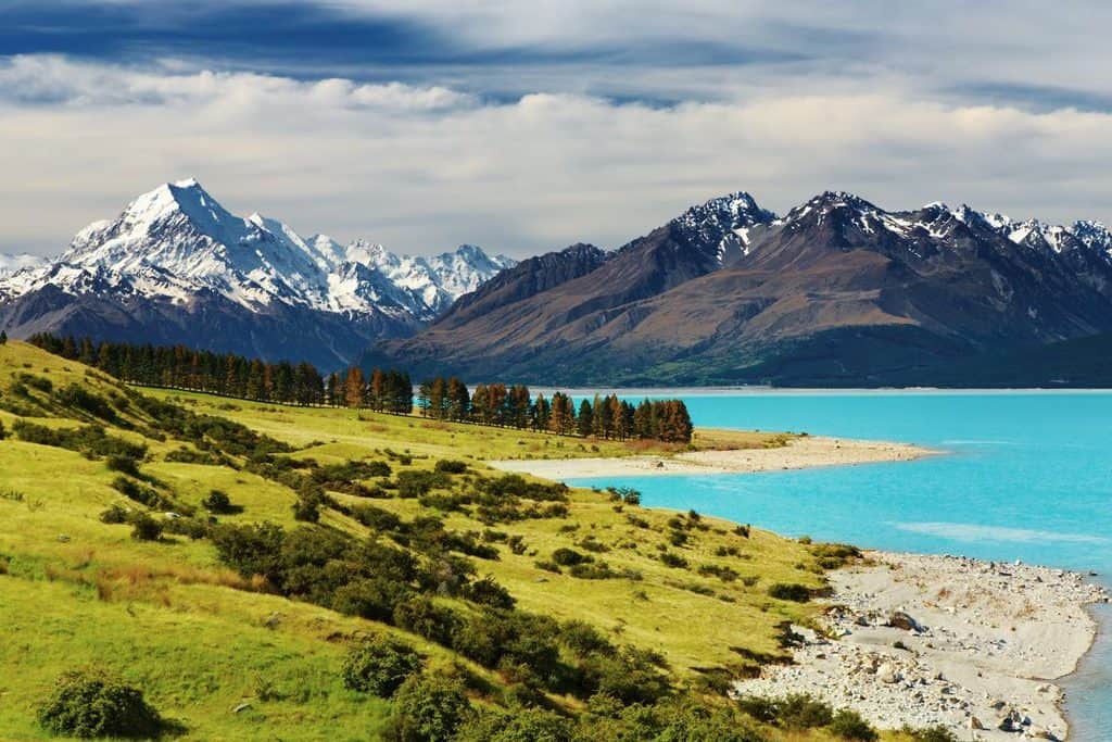
The South Island rewards a slower pace because the scenery does most of the work. A typical loop starts in Christchurch, heads to Lake Tekapo (3 hours), continues to Mount Cook Village (1.5 hours further), then down to Queenstown (3.5 hours) and out to Milford Sound as a day trip. From Queenstown, many travelers loop back through Wanaka and the West Coast, adding another 4-5 days.
This route alone can run 1,200-1,500 kilometers depending on detours, and two weeks is a reasonable minimum to do it without feeling rushed. Trying to compress it into a week means skipping either the glaciers on the West Coast or the fjords in the south, and both are worth the extra days.
Timing Your Trip Around Weather and Crowds
December through February is New Zealand’s summer and the busiest tourist season, with long daylight hours (sunset after 9 p.m. in parts of the South Island) but also higher prices and fuller campgrounds. Shoulder seasons, March-April and October-November, offer a good compromise: fewer crowds, still-reasonable weather, and easier bookings for popular spots like Milford Sound cruises or Great Walk huts.
Winter (June-August) closes some mountain passes and Great Walks, particularly around Fiordland and Aoraki/Mount Cook, but opens up ski season in Queenstown and Wanaka. If skiing isn’t the goal, winter touring New Zealand means shorter days and some road closures, but also near-empty scenic spots that are packed in summer. Whichever season you choose, check road conditions through the NZTA website, since alpine routes can close on short notice even outside deep winter.
One-Lane Bridges and Other Road Realities
New Zealand has hundreds of one-lane bridges, especially on the West Coast and in rural areas, where a give-way sign determines who has right of way. These aren’t rare novelties; expect to cross several per day on certain routes. Gravel roads are also common even on routes that look paved on a map, so a standard rental car handles most trips fine, but check terrain if you’re heading somewhere remote like Skippers Canyon near Queenstown, which technically voids standard rental insurance.
Fuel stations thin out significantly once you’re off State Highway 1, so fill up in towns rather than waiting until the tank is low. Signal coverage also drops in mountainous and remote coastal areas, meaning offline maps are worth downloading before you set out each day.
Building a Realistic Itinerary
A workable approach is to pick one island rather than both if your trip is under two weeks. Trying to see everything on both islands in 10 days usually means four hours of driving a day and rushed stops everywhere. Instead, choose 4-5 anchor destinations and let the drives between them be part of the experience rather than an obstacle to it.
The real measure of a good New Zealand itinerary isn’t how many places you check off, it’s how much slack you’ve built in for weather delays, unplanned stops, and the one-lane bridge that makes you wait five minutes while someone’s ute crosses the other way. Plan the distances honestly, and the rest of the trip tends to fall into place.